
Roadbook 71: Navigate the Ride You Already Rode
Posted: 2026 | Category: Navigation
The Loop Nobody Will Navigate
Somebody hands you a GPX file. A 157 kilometre loop through the Flemish Ardennes that a club rode last spring, with every good road on it and none of the dull ones, worked out by someone who has been riding there for thirty years.
You want to ride it. So you open Apple Maps.
Apple Maps asks where you are going. You are going here. The start and the end are the same car park. Maps does not have an answer for that, because a router optimises the trip between two points and your trip is not between two points. It is the line.
So you open a GPX viewer instead. It draws the line beautifully. It will happily show you where you are on it. And at every junction it says nothing at all, so somebody in the passenger seat holds a phone and calls out “left here, no, the next one” for two hours, and by lunchtime nobody is enjoying themselves.
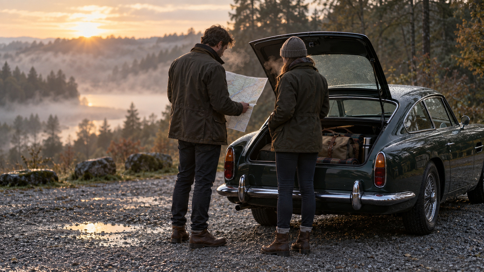 A good loop starts and ends in the same car park. That is the one trip a router cannot help with.
That is the gap. One tool navigates but will not follow your line. The other follows your line but will not navigate.
The Recording Is the Truth
Roadbook 71 takes the GPX as ground truth, matches it onto the road network, and then narrates it.
Getting that right is harder than it sounds, because a router will cheerfully cut a corner onto a parallel road and hand back a route that is nearly yours. So the waypoints handed to the router are spaced by how much the track is turning: sparse on a long straight, dense through a hairpin, because a hairpin is exactly where a shortcut appears.
Every leg the router returns is then checked against the recording. A leg that wanders outside the corridor gets retried, more densely. And where no amount of retrying produces a road route that matches the recording, Roadbook 71 does something most apps will not: it admits it. The route falls back to the recorded track itself. The line is drawn and the map still leads you, but there are no spoken instructions on that stretch.
Those stretches are counted, measured, listed and drawn in their own colour.
You know before you set off exactly where guidance is going to go quiet.
Any one of them can be retried on its own, and you can pin a waypoint by hand to force the route down a particular road.
A recording that jumps 1.8 kilometres with nothing logged in between is a lost signal, not a teleport. Roadbook 71 routes across the gap by road rather than drawing a straight line through a field, and marks it as a guess. A bridged gap and a genuinely quiet stretch are drawn and worded differently, because they are different problems.
And a ring has no start. Or rather, its start is wherever the recording happened to begin, which is rarely where you are standing. Starting a drive rotates the ring to the closest point on it, so you set off from here instead of driving twenty kilometres to the recorded start first.
Driving It
Heading-up map, next instruction, distance, ETA. Spoken guidance that only activates the audio session while it is actually speaking, so your music is not ducked for two hours between prompts. Wrong turns are detected, a rejoin leg is requested and spliced in, and the kilometres already driven survive the splice.
CarPlay is not a mirror of the phone. The car is the screen that matters while driving, so it can start, follow and end a drive on its own. Both surfaces share one route and one navigation engine, so a drive started on either shows up on the other. And a drive in progress is written to disk as it goes, because a backgrounded navigation app is a candidate for termination and losing a loop two hours in is not acceptable.
There is also a second screen. A wireless HMI terminal stuck to the dash shows the junction diagram for what is coming, the distance to it, the instruction, any caution written on that stretch, the junction after this one, and the trip’s figures. The phone works out the whole picture and sends only values over Bluetooth once a second.
The Printed Roadbook
This is the part people do not expect from a navigation app.
Roadbook 71 prints a real roadbook: every junction in order, each with its tulip diagram, the running total in the left margin, the distance from the line above underneath it, and a box to tick as each one goes by.
A tulip is a diagram of a junction. The ball where you come in, the arrow where you leave, and a thin stub for every other road meeting it. Without those stubs, “the second of three lefts” and “the only left” are the same picture, which is the entire reason the notation exists.
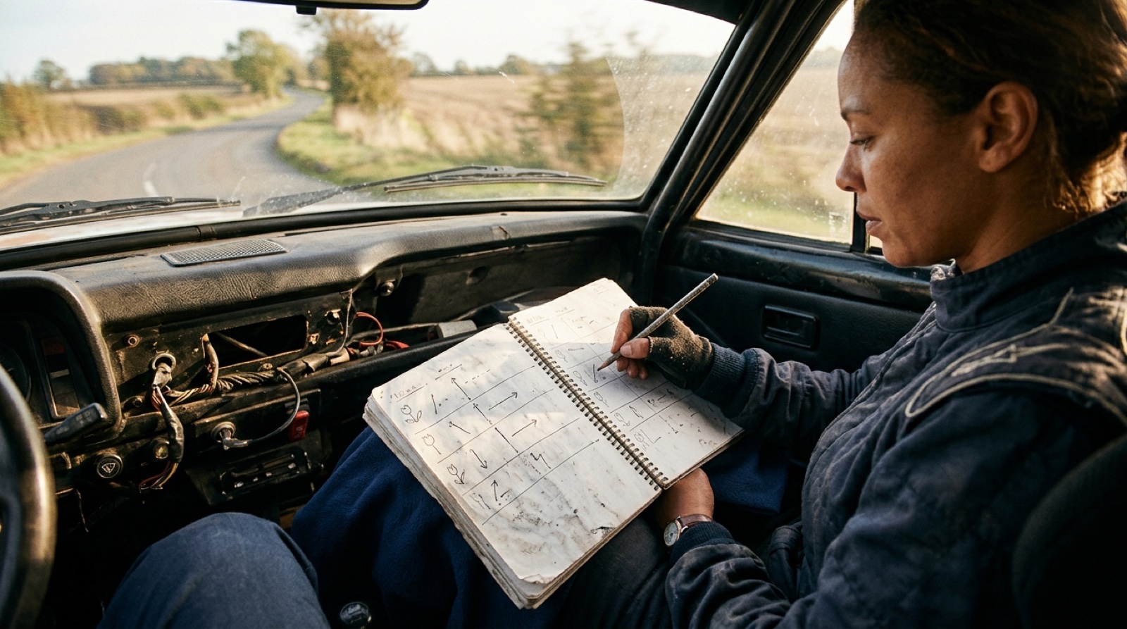 Paper that a co-driver can hold, tick off and write on, with no battery involved.
A GPX cannot supply them. It records which way the car went and nothing about what else was there. So the arms come from OpenStreetMap: solid for paved, dashed for a track or anything tagged unpaved, heavier for the road with priority, and a ring where the junction is a roundabout. Where the data says nothing, the tulip falls back to a lighter drawing, in lighter ink, because that one is a guess and it should look like one.
The instruction carries the village on the line where it changes, “Turn right onto Langestraat (Asper)”, because that is what actually tells a driver where they are. The page is deliberately dense, so a stage fits in as few pages as possible.
Turning a page at seventy is worse than reading a small diagram.
Page one carries the particulars, the loop drawn as ink on paper, and a QR code, because a roadbook gets photocopied and handed on. That map is a survey plate rather than a screenshot: a kilometre grid under a cased route line, arrowheads showing which way round it runs, distance marks on paper discs, a scale bar and a north arrow. All geometry, nothing fetched, because a map view screenshots as a grey rectangle and the page has to print in a car park with no signal.
Tap any line and write on it. “Gravel on the exit.” “Coffee at the Kluisberg.” Notes print in the margin in the co-driver’s hand, and one marked as a caution is also raised on the driving screen five hundred metres before you reach it. A note is filed against a distance rather than a step number, so rebuilding the route does not move it somewhere else.
Handing It Over
One file holds the recording, the route already worked out from it, every note on it and the printed PDF. Open it on another phone and the roadbook is there, typed up, with no rebuild, which on a 157 kilometre loop is minutes of throttled routing requests that somebody has already paid for once.
Open the same file anywhere else and it is a plain zip with the GPX and the PDF in it.
Who This Is For
Classic rally and regularity drivers, who work in tulips and printed roadbooks already and would rather not choose between paper and a screen.
Motorcyclists and drivers with a favourite loop, who have the track and just want it read out loud.
Anyone handed a GPX by a club, and told it is the good route, without a passenger available to read it.
Get Started
Visit roadbook71.com. Bring a GPX of something you already rode, and find out what it sounds like when the road tells you where to turn.
Roadbook 71 is built by glue.blue - we stick solutions to problems. Permanently.
→ roadbook71.com → [Contact Us](mailto:hello@glue.blue?subject=Roadbook 71%20Question)
Posted in: Navigation, iOS, CarPlay, Motoring